


8,9 km | 13,8 km-effort

Tous les sentiers balisés d’Europe GUIDE+


Application GPS de randonnée GRATUITE
 SityTrail
IGN / Instituts géographiques
SityTrail World
Le monde est à vous
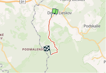
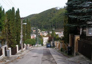
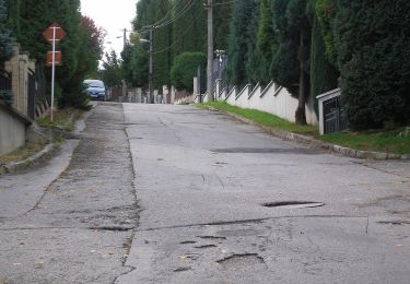
Randonnée A pied de 4,1 km à découvrir à Région de Trenčín, Inconnu, okres Považská Bystrica. Cette randonnée est proposée par SityTrail - itinéraires balisés pédestres.
Randonnée créée par Obec Slopná.
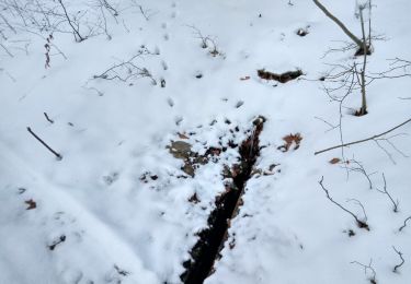
Local marking made by village Slopna. There are guidepost with defined color for paths, but without physical marking. There are no guideposts outside the Slopna territory even if the path is ending elsewhere.
Symbole: local


Course à pied
A pied
A pied
A pied
A pied
A pied

A pied
A pied
A pied